Select Language
മലയാളം
English
Previous
Next
Loading..
Loading..
ഗവർണർ
Loading..
സുസ്ഥിര വികസന ലക്ഷ്യങ്ങൾ
Loading..
Loading..
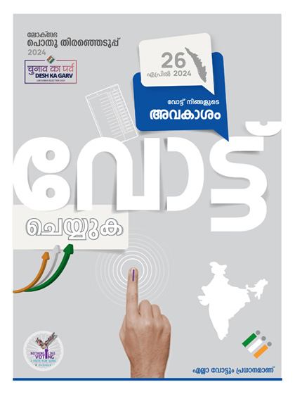
ബാനറുകൾ
Long alert
Services
Kerala tourism
Important links
Please ensure Javascript is enabled for accessibility
sitelisthead
Custom Ajax Title
Visitors
Visit Analysis Report
Download